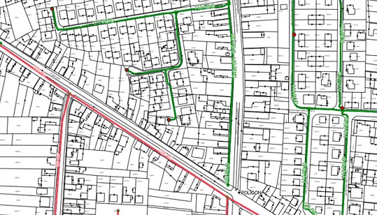
Remote Sensing Division performs precise measurements of the RTK. The method of measurement is based on an OTF (On The Fly) initialization algorithm, which is almost immediate termination of an unknown number of waves on the satellite-receiver way. This method requires a minimum of 5 satellites visible above 15°. Phase observations are used by frequency receiver. The advantage compared with the static measurements is immediately determine the position, whereas the disadvantages include the need to ensure continuous communication between the base station and the mobile receiver and limit the range of methods. Typical measurement conditions RTK are:
- initialization about 1 minute
- measurement of pickets 3–5 sec
- measurement range 30 km
- accuracy ±1–2 cm + 2 ppm × D for horizontal component and about ±3 cm + 2 ppm × D for vertical component
The scope of measurements:
- determination the exact position of geographical terrain points
- determination of ground control
- determination of boundaries of farmland and agricultural parcels
- geodetic support
- determination the position of an object of interest
- positional fixes


