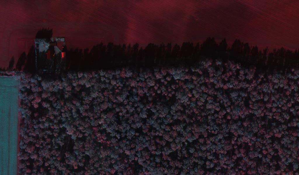
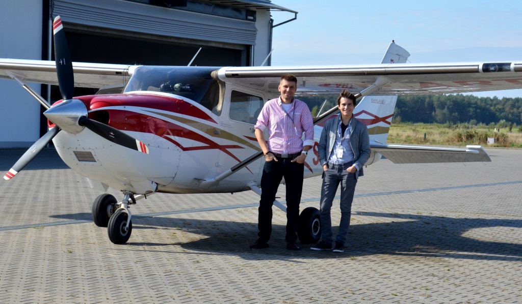
Data Acquisition Laboratory is engaged in executing of photogrammetric flights and other aerial missions using the four-seater Cessna 182T manned airplane. To take pictures we use a built in Remote Sensing Department multispectral camera QUERCUS 6, that record the images in six different spectral bands. This enables later advanced analysis of collected footage. Remote Sensing Division has also a smaller version of the camera – QUERCUS 2 equipped with two lenses which allows to record images in two spectral bands.
Aircraft performance specification:
*endurance: to 6 h
*cruise speed: 180 – 220 km/h
*max altitude: 3.600 m
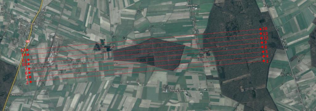
Each flight is planned and appropriately designed to obtain the required photogrammetric coverage. The strips are adjusted to the size of the examinated area and to the camera in use and then implemented into the aircraft navigation device. Suitable camera parameters are set just before the photogrammetric flight or during it. Camera operator constantly analyzes the quality of photos and the camera function. The acquired images are processed and analyzed according to the customer recommendations.
Depending on the nature of the obtained images on the camera’s objectives are mounted spectral filters defined by the customer. Department of Remote Sensing has filters in the range 380 nm – 1200 nm (every 20 nm). As a result, in one flight, it is possible to acquire multispectral images for scientific research, health studies, evaluating various risks, assessment of environmental change, assessment of land’s pollution, etc. On this basis we can calculate the spectral indices we are interested in.
After flight acquired images are forwarded to the customer in the raw or processed form. Remote Sensing Division specializes in images processing, their analysis and interpretation. These services are performed on professional photogrammetric station and on a special laboratory to obtain spectral signatures.