


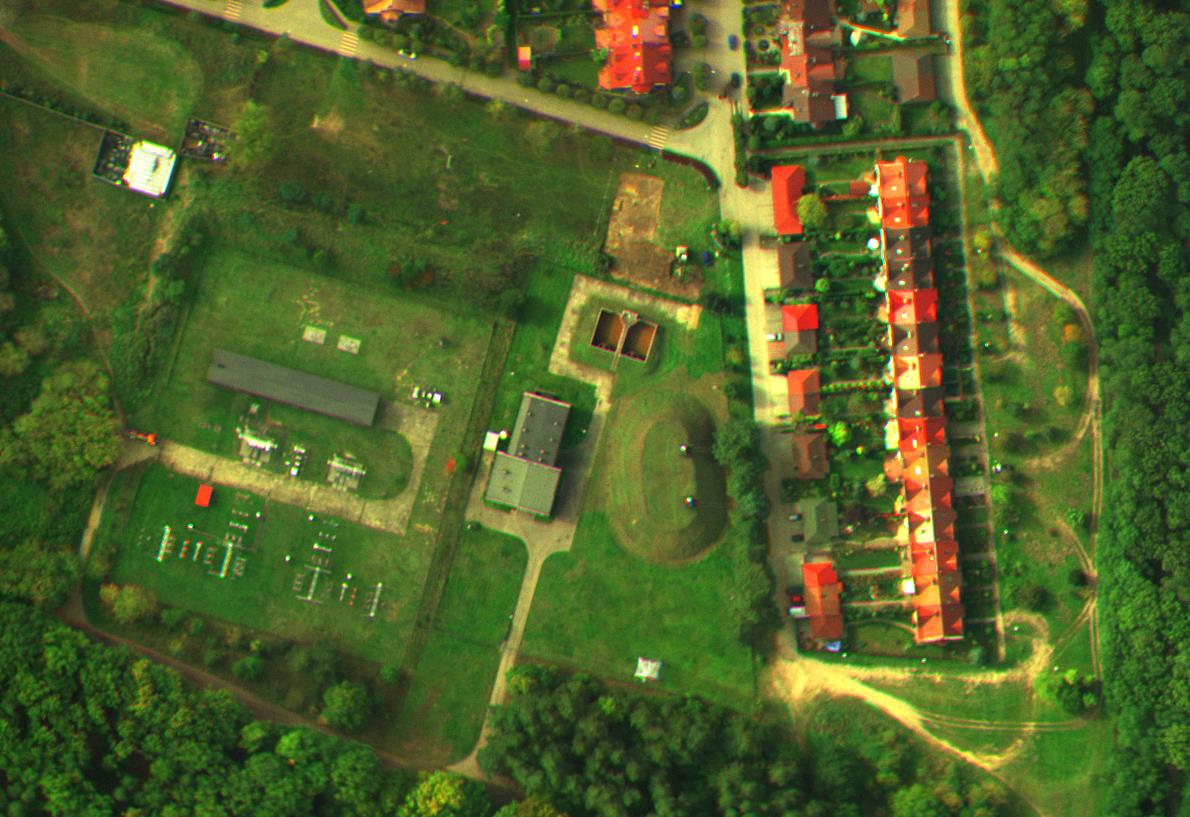
Acqired photos are processed on professional Photogrammetric Station. This allows to deliver of high-quality products.
On professional Photogrammetric Station are created:
- images mosaics
- orthophotomaps
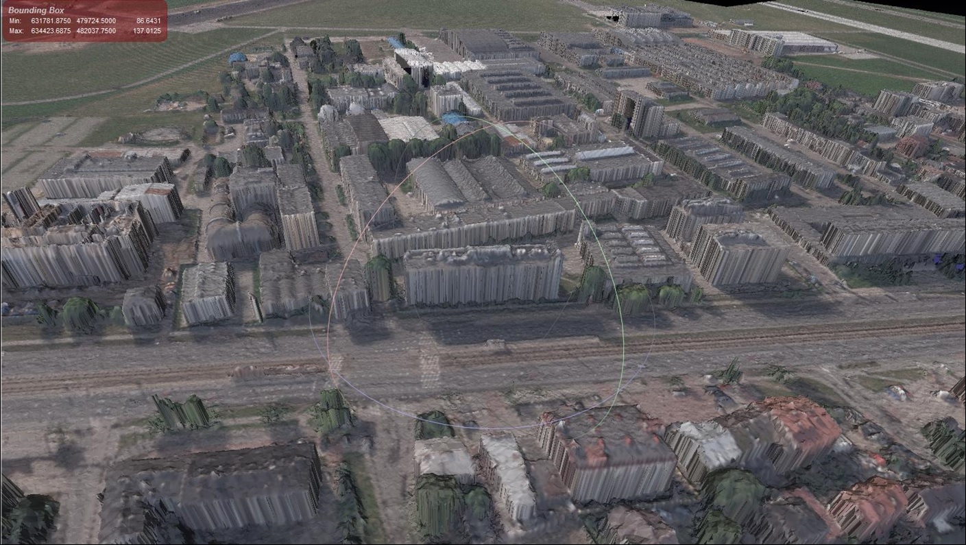
- points cloud
- terrain models with / without taking into account the anthropogenic forms
Remote Sensing Division has also GPS RTK receiver, which allows accurate determination of position. Terrain markers are decomposed for precise points designation. This makes it possible to perform high-quality terrain maps from aerial photographs.
Applications of products produced in professional Photogrammetric Station:
- making the orthophotomaps
- making the numerical terrain model
- making the maps for projects purposes
- inventory of archaeological sites
- restoration works
- volume measurement of bulk materials landfill
- monitoring of displacements and deformations
- architectural and construction inventory